Corona Municipal Airport (KAJO) – Pilot Resources
Local Time: Monday, July 27th, 2026 1:40 pm (PDT)
UTC Time: July 27th, 2026 (UTC) – 2040Z
Current Weather:
VFR METAR KAJO 271956Z AUTO 26011G16KT 10SM CLR 34/19 A2992 RMK AO2 SLP122 T03440194
TAF KONT 271730Z 2718/2824 VRB05KT P6SM FEW150 FM272100 25010G18KT P6SM FEW150 FM280500 VRB05KT P6SM FEW150 FM282100 25010G18KT P6SM FEW200
AWOS Phone Number: Click to Reveal
Pleasants Peak Webcam (~7 Miles South of KAJO, Showing the Airport Vicinity, Facing North):
Night:
The Corona Municipal Airport (KAJO) is a non-towered primary GA airport in Corona, California, elevation 533′ MSL, with a single 3,200′ x 60′ asphalt runway 07/25 (calm-wind runway 25). Expect a busy mix of GA fixed-wing traffic, with frequent helicopter operations, mostly flight training, and monitor/announce intentions on CTAF/UNICOM 122.7. Also expect IFR traffic arriving from the northeast from Paradise (PDZ), circling to land Runway 25 from midfield.
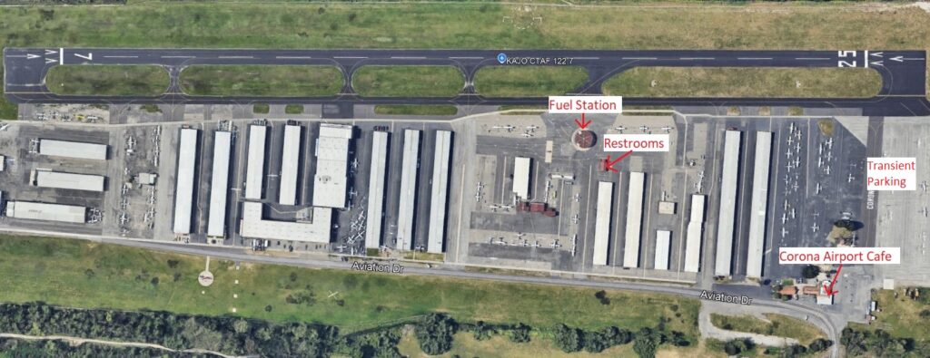
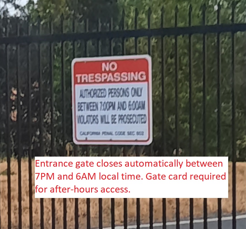
1900 Aviation Dr, Corona, CA 92878
VFR Chart (Click to Open)

Not For Navigation; use only official FAA sources.